


Explorer
IN PICS | Moments Before ISRO's GSLV-F10 Mission Failed Due To 'Technical Anomaly'
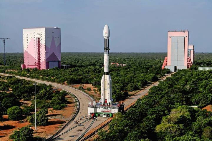
Indias Geosynchronous Satellite Launch Vehicle (GSLV-F10) at the launch pad ahead of its launch, in Sriharikota, Tuesday, Aug. 10, 2021. (PTI Photo/ISRO)
1/5
ISRO's plan to place an earth observation satellite failed as the rocket GSLV-F10 did not place the satellite EOS-03 into the intended orbit due to a technical anomaly identified in the cryogenic stage. (Pic Courtesy: PTI)
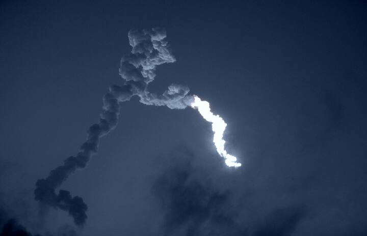
2/5

The GSLV-F10/EOS-03 successfully lifted off from the launch pad at the spaceport as planned at 05.43 am after the countdown concluded. (Pic Courtesy: PTI)
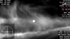
3/5
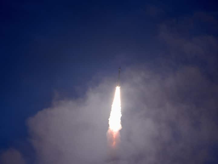
Scientists at the Mission Control Centre said the performance of the rocket in the first and second stages was normal. However, it was announced by the Range Operations Director "mission could not be accomplished fully due to performance anomaly". (Pic Courtesy: PTI)
4/5
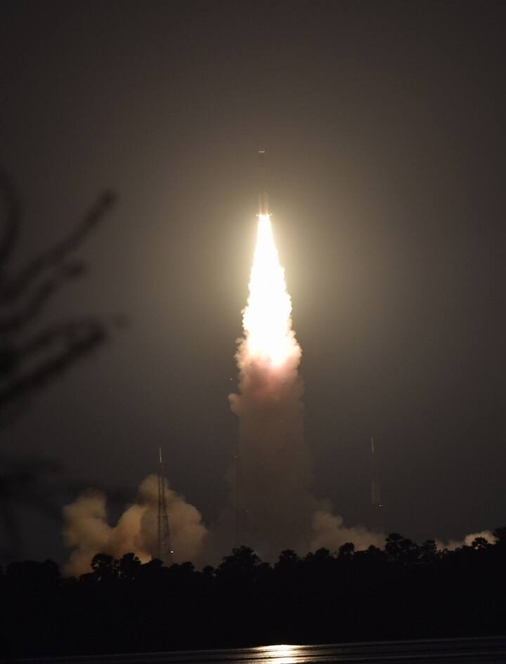
ISRO Chairman K Sivan said, "It could not be fully accomplished mainly because there is a technical anomaly observed in the cryogenic stage." (Pic Courtesy: PTI)
5/5
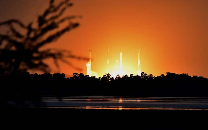
The objective of Thursday's mission was to provide near real-time imaging of large area regions at frequent intervals, for quick monitoring of natural disasters, episodic events and obtain spectral signatures for agriculture, forestry, water bodies as well as for disaster warning, cyclone monitoring, cloud burst and thunderstorm monitoring. (Pic Courtesy: PTI)
Published at : 12 Aug 2021 10:36 AM (IST)


Trending News
Top Headlines
World

US Launches Fresh Air Strikes On Iranian Oil Tanker, Airport; Tehran Attacks Kuwait, Jordan
India

Delhi HC To Hear Wangchuk Force-Feeding Plea As Fast Enters Day 19; Kejriwal To Visit Jantar Mantar
Football

Lionel Messi's Argentina Stuns England, Sets Up Dream World Cup Final Against Spain
Mutual Funds

Dalal Street Beats Asian Markets, Sensex Over 150 Points Up, Nifty Above 24,100