Weather Update: Western Disturbance Likely To Hit Eastern States Today, Rain Alert Issued
The weather department on Monday said dense fog and cold wave conditions would be observed over parts of northwest India during the next four-five days.

New Delhi: As the cold wave continues in most places, a western disturbance is likely to hit the eastern states from Tuesday, and cause rainfall over the next few days, according to predictions of the India Meteorological Department (IMD).
The met department had already issued yellow and orange alerts for the states of Odisha, Jharkhand, West Bengal, and Bihar from January 11 to January 13. On Monday, the Met department update on Twitter the projections for the eastern states and nearby regions.
ALSO READ: Contacts Of Covid Patients Don't Need To Be Tested Unless Identified As High Risk: Centre
“Scattered to fairly widespread light/moderate rainfall very likely over Vidarbha, Chhattisgarh, Bihar, Jharkhand, West Bengal & Sikkim, and Odisha during 10th to 14th January. Isolated heavy rainfall very likely over Odisha on 11th & 13th January,” it tweeted.
Scattered to fairly widespread light/moderate rainfall very likely over Vidarbha, Chhattisgarh, Bihar, Jharkhand, West Bengal & Sikkim and Odisha during 10th to 14th January.
— India Meteorological Department (@Indiametdept) January 10, 2022
Isolated heavy rainfall very likely over Odisha on 11th & 13th January.
The IMD also predicted isolated thunderstorms with lightning/hail for Jharkhand, Bihar, and Gangetic West Bengal on January 11, Sub-Himalayan West Bengal (as well as Sikkim and Telangana) on January 12, and Odisha on January 11 and 12.
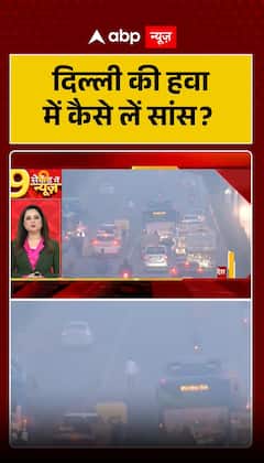
The weather department on Monday said dense fog and cold wave conditions would be observed over parts of northwest India during the next four-five days.
While northwestern region will witness dense to very dense fog, and cold wave conditions very likely in isolated pockets over Punjab, Haryana & Chandigarh during Jan 12th-15th and over north Rajasthan during 11th-13th January 2022, predicted IMD.
While Madhya Pradesh and Gujarat will also witness cold day conditions in isolated pockets during the next two days.
The national capital witnessed the highest rainfall in the last 27 years for January. The minimum temperature is expected to go down and reach about 4°C, at least in a few areas of Delhi by end of the week, according to Skymet Weather Services. Accordingly, cold wave conditions can make a comeback, albeit mild and shallow.
According to the company, the next active western disturbance will arrive not before January 18. Thick clouds and rains are likely thereafter.
Western disturbance has been defined as an extratropical storm originating in the Mediterranean region that brings sudden rain to the northwestern parts of the Indian subcontinent. A non-monsoonal precipitation pattern, this disturbance is driven by the westerly winds, says the Met department.


