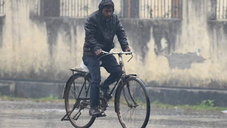
Parts of Delhi and Noida received light-intensity rain on Tuesday morning after experiencing days of warm weather. IMD Scientist Kuldeep Srivastava said, "There is a western disturbance which might cause very light rain or drizzle at a few places in the city and other parts of NCR. However, no significant impact would be seen due to this western disturbance. The maximum temperature will further rise and there will be a rising trend."
The MeT has predicted that the temperature today will likely remain below 30 degrees Celsius on February 28 and 29.
The minimum temperature on Monday was 8.3 degrees Celsius which was four notches below normal against 8.7 degrees Celsius on Sunday. The maximum temperature was 27 degrees Celsius against 24.6 degrees Celsius on Sunday.
IMD has predicted that an active western disturbance is likely to affect Western Himalayan Region from February 29 and adjoining plains from March 1- 4 with a peak intensity on March 1-2. A high moisture feeding from the Arabian Sea to northwest India is likely to occur mainly during March 1-2. This will very likely result in fairly widespread to widespread light to moderate rainfall accompanied by lightning and thunderstorms over the Western Himalayan region from March 1-3.
The western disturbance will very likely cause scattered to fairly widespread light to moderate rainfall accompanied by thunderstorms and lightning over Punjab, Haryana-Chandigarh-Delhi on March 1-2 and isolated to scattered light or moderate rainfall over Rajasthan and Uttar Pradesh on March 1 and 2.
IMD has also predicted hailstorm activity at isolated places over Uttarakhand on March 1. Arunachal Pradesh and Andaman & Nicobar Islands are also likely to receive isolated to scattered light rainfall from March 4 to March 6.
